The value of the global geospatial market in 2020 was around $439bn
Reliance on outdated mapping services could be costing Middle East and North Africa governments hundreds of billions of dollars in revenue, according to Peter Hedlund, Ordnance Survey International managing director.
Upgraded geospatial data is key for nations that will need to address challenges such as population growth, climate change and potential emerging pandemics.
However, Hedlund told Arabian Business: “What we see in many countries is people don’t see the value until you actually show it to them, how geospatial information is relevant to all this when it comes to land administration, land taxation, property value, all those things. That’s when people start to realise how it influences everyone’s lives these days.”
Hedlund revealed the value of the global geospatial market in 2020 was around $439 billion. According to the See Your Nation’s Potential report from the UK’s mapping agency Ordnance Survey, some economies – such as Canada – have seen growth of up 1.2 percent after improving their geospatial information capabilities.
“Geospatial information helps us to tackle the biggest problems of our time – and capitalise on the greatest opportunities – by making it possible to monitor, measure, predict and adapt effectively,” Hedlund said. “Government spending on geospatial information is a high-impact investment in a nation’s long-term economic health, with benefits 3.2 times larger than the costs.”
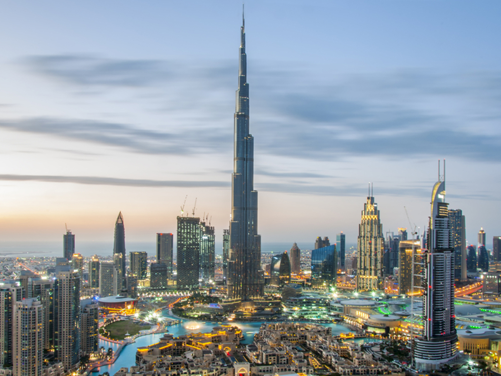
OS is already working with governments in Dubai, Abu Dhabi and Bahrain to help improve their geospatial infrastructure, enabling them to realise economic, societal and environmental benefits.
In Dubai, for example, Dubai Municipality is using OS’ Geospatial Maturity Assessment to help realise the government’s vision “to make Dubai the happiest city on earth”.
Hedlund said the region is “phenomenal” in terms of its use of technology, “because it’s a new place, it’s a new city compared to maybe London, which has underground assets back from the Victorian days. You don’t have those challenges here, this is real ground-breaking stuff that you can do in this region”, he said.
According to their ranking data for geospatial maturity, the UAE registers as the highest country in the MENA region, coming in 28th place.
As well as boosting GDP, the report claims improved geospatial data can help nations secure long-term food and water security, increase productivity and resource availability, predict and mitigate the effects of climate change, rebuild after disasters, as well as generate billions in returns from the establishment of secure land rights, and unlock the benefits of technologies like 5G, autonomous vehicles and smart cities.
“Building national digital base maps is a core process in enabling your nation’s digital economy to flourish”, Hedlund said. “But base maps are also a fundamental enabler in providing the most basic of government services, including establishing property ownership, allocating resources and planning infrastructure.”
